


Spring Newsletter 2023
As we move into the warmer months, we watch the grassy weeds GROW!
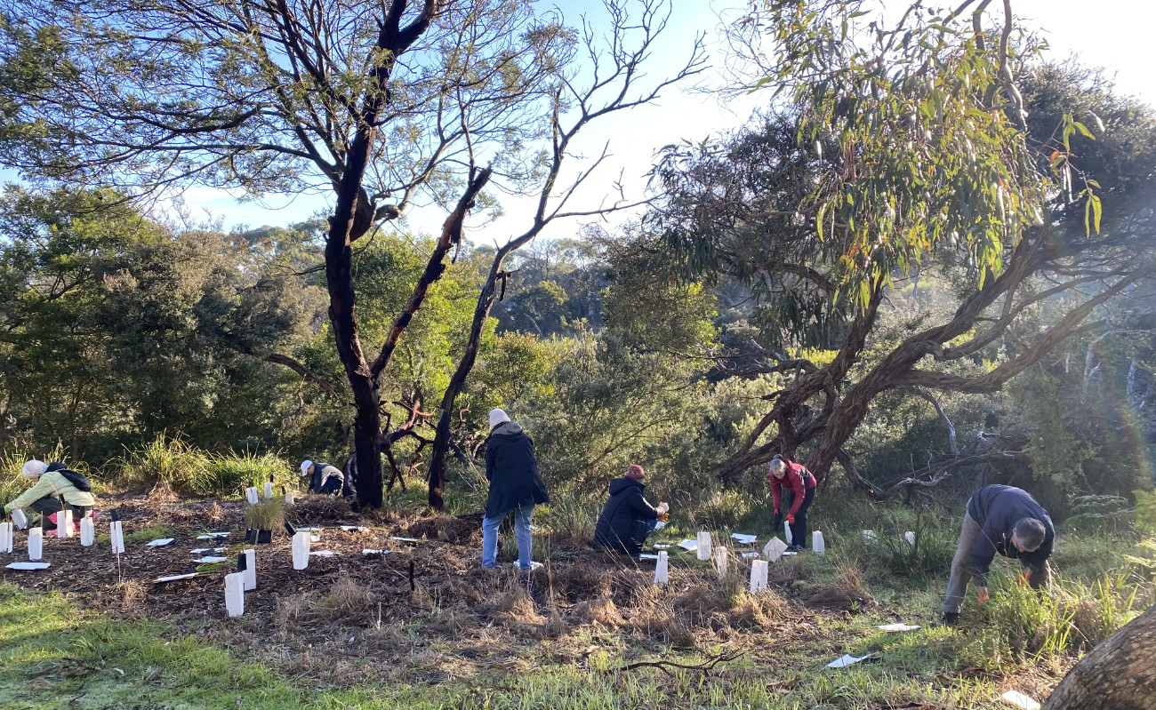
Over the last months much of the Naturelinks work in the 5 different areas of the Reserve are focusing on the explosion of grassy weeds.

Sunshine News and Events Reminder
A huge thank you to Roger Annear from the Rotary Club of Mount Martha for successfully nominating Sunshine Reserve for an Australia Post People of Post Grant ($950). These connections and the significant support within our community are valued and the funds will go towards an exciting project ahead – watch this space.
Autumn Newsletter 2023
Welcome to Sunshine! I can’t believe it is Autumn and we are deep into its associated rhythms.
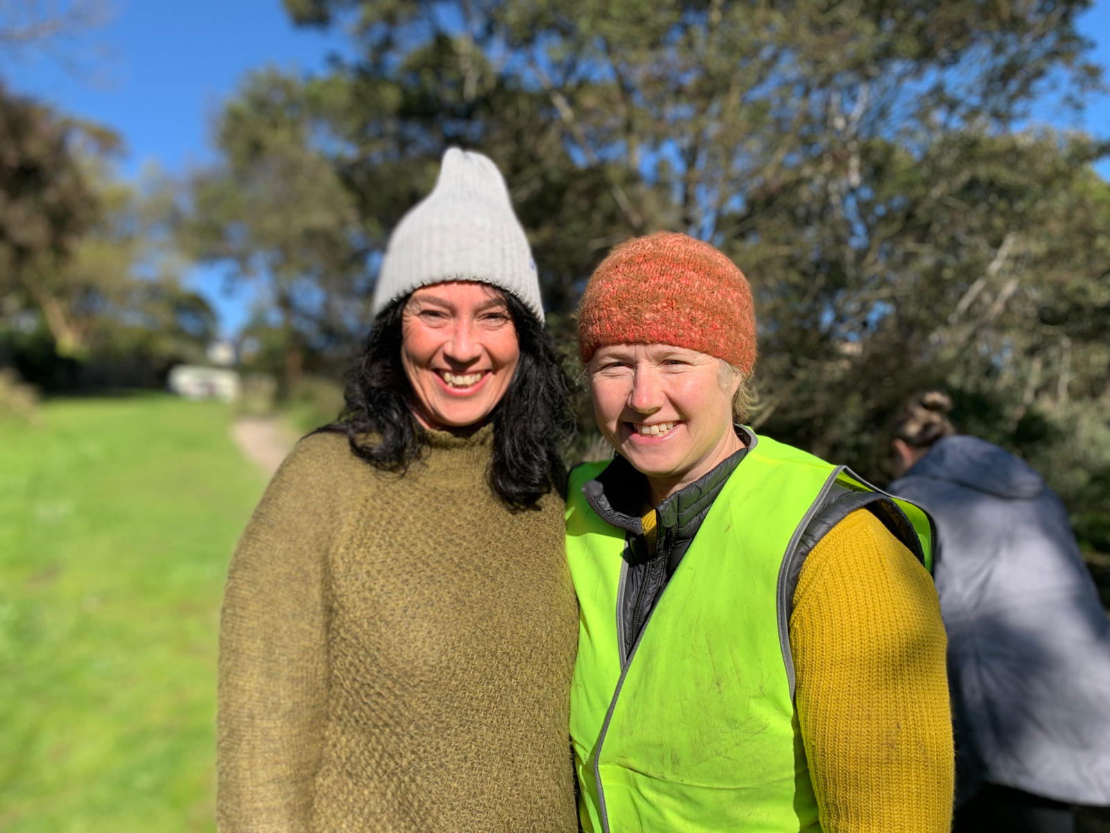
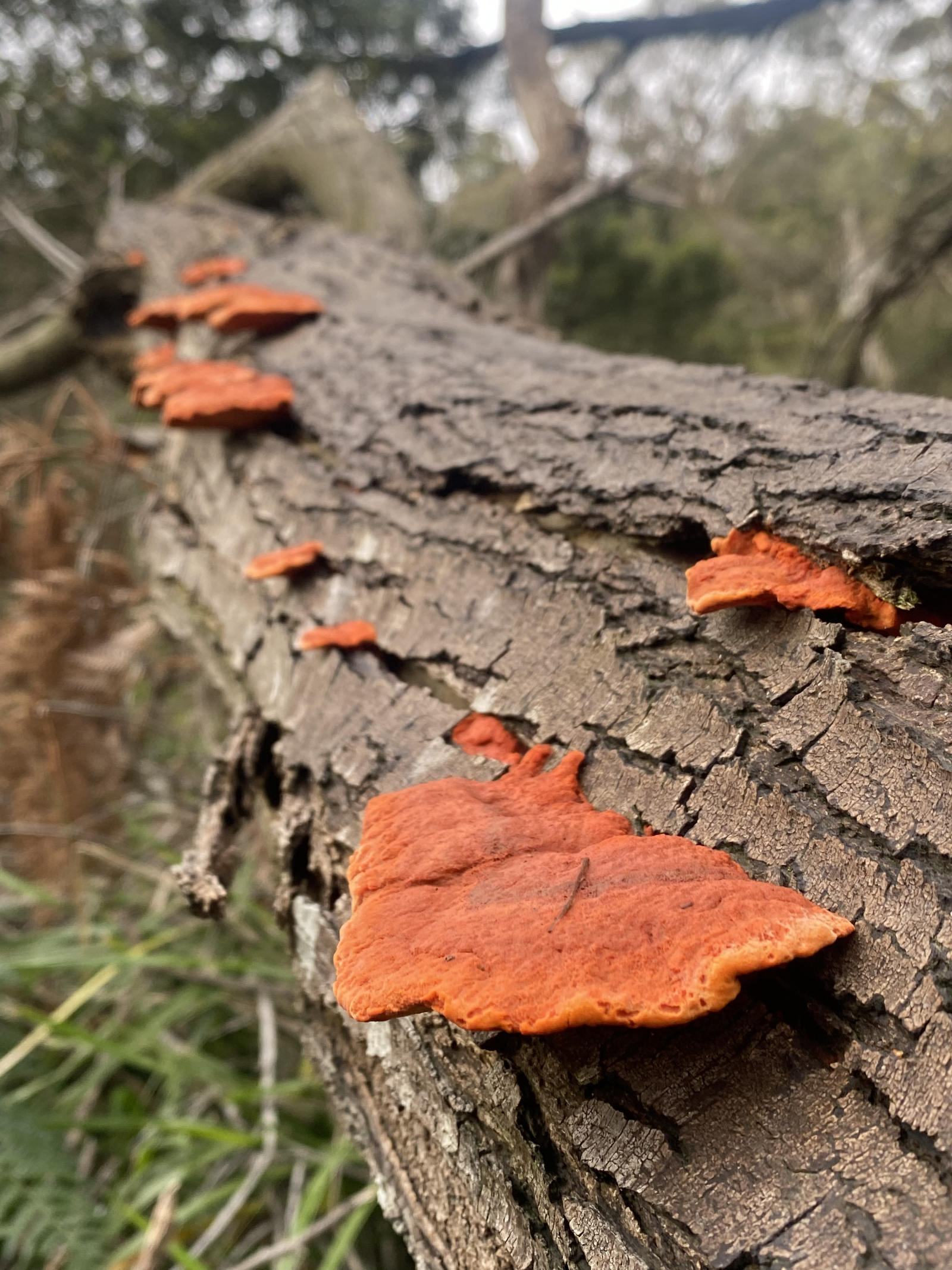
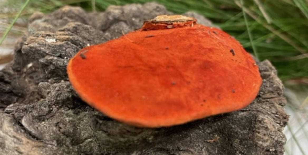
It is Funghi season … the great recyclers. I had the pleasure of attending with fellow committee members Angie and Jess, a Funghi Workshop hosted by BERG Mt. Martha….
Summer Newsletter 2023
Welcome to Sunshine 2023 and we hope you have had a welcome break.
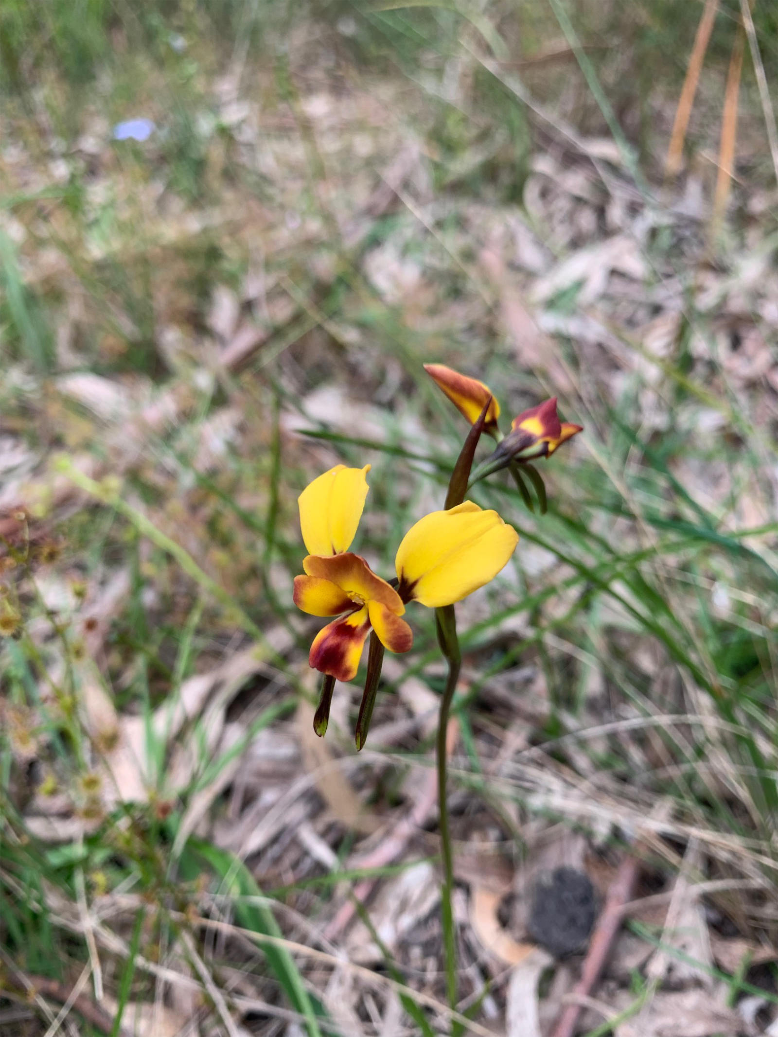
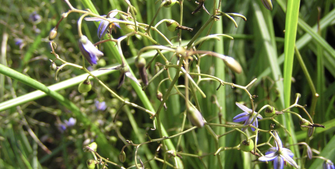
Summer is the season when all our indigenous grasses are producing seed. The indigenous grasses we would typically see in the Reserve
